Kyoto travel information of temples, shrines, museums and more.
Northern route : Green tours
Do you know that you can walk around the city of Kyoto through the mountains? The hiking routes are perfect for every generation to exercise and explore Kyoto. Let's get started on a green & healthy tour.
- Green tours >
- East-northern route
East-northern route
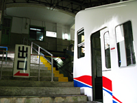
Let's get started on "the East-northern route", which starts at the foot of Mt. Hiei and finishes in the peaceful area of Ohara! First, take track 1 on the Eizan line at Demachi-yanagi Station and get off at Yase-hieizan-guchi. And then it's a 3 minutes walk to the Yase Cable car Station. The first cable car departs at 9am. Of course, early departure would be better!
The cable car goes up the steep hill of Mt. Hiei.
The view from the car is amazingly wonderful. It takes just 5 minutes to get to Hiei Station.
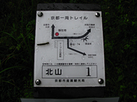
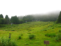
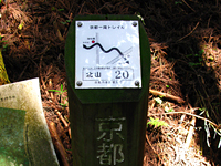
Can you see sign no.1 of
"the Kyoto Circuit Trail"?
Let's start about 5 hours walking to Ohara! After arriving, you can refresh yourself at the onsen natural spa center.
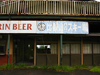
Pass through the trace of a ski resort
Pass through the trace of a ski resort I remember I often came here to ski when I was at high school. But it's closed now. Everything changes..
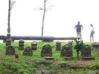
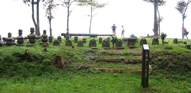
An array of jizo
An array of jizo Here you can enjoy a nice view of the Ohara area. Jizo is a guardian for children. They look so healing.
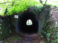
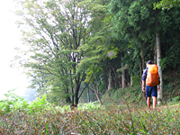
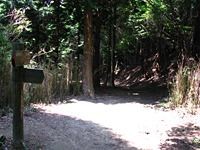
Pass through the tunnel under the toll road
Pass through the tunnel under the toll road The trail around here is properly maintained, so easy to walk.
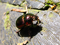
Meet the pink bug!
What's this bug's name? Is it a magic of sunlight?
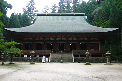
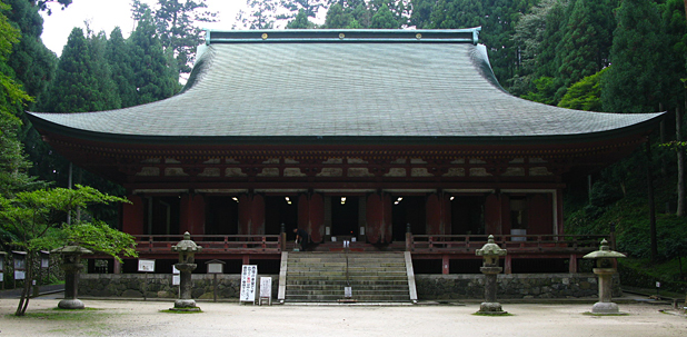
Enryaku-ji Temple
Enryaku-ji was founded by Priest Saicho in the 8th century and registered to be one of the World Cultural Heritage Sites. This temple is divided into three districts, Eastern, Western and Yokokawa. Sanno-in-do, Jodo-in and Tenhorin-do of the Western district are located along this trail route. Drop in there, and pray for your safe hiking! There is the last toilet of this route here.
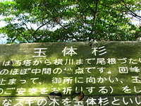
Gyokutaisugi Giant cedar
This is a nice place to rest and have lunch. Devout Buddhists said to have stopped here to pray for peace in the direction of Kyoto Imperial Palace. You can overlook Kyoto City and Lake Biwa.
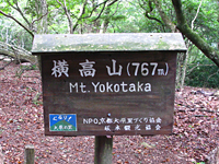
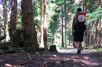
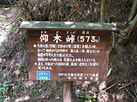
Mt. Yokotaka (altitude 767m)
Let's climb to the summit of Mt. Yokotaka. The road ascends sharply here. It is moderately difficult to walk due to the rough road with a lot of ridges.
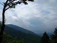
Summit of the mountain
All mountains around Kyoto are not too high. Even Mt. Atago, the biggest mountain in Kyoto, is just 924m. This is the reason that Kyoto is a suitable city to enjoy hiking through all generations. Keep going along a ridge road for a while.
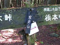
Mt. Mizui (altitude 794m)
This is also steep. Not to need to hurry, take it easy!
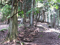
Summit of the mountain
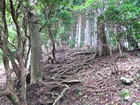
The rough road continues.. don't give up!
Memo:
Mt. Hiei has been appreciated as a Mecca of Buddhism. It is provided that one part of the mountain around sign no.16 is a sanctuary for birds' breeding. Not only 80 kinds of birds but also several animals are protected here. Listen for their chirp! This is a part of the fan of hiking!
Pass Ougi
This is the pass that connects Kyoto and Shiga. Several materials were carried through this pass by oxen and rickshaw in the old days. As for Shiga, there is the biggest lake in Japan, Lake Biwa, and lots of facilities for camping around the lake. It's a wonderland for outdoor activities.

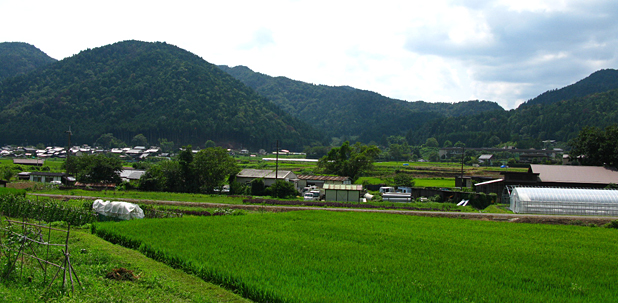
Ohara is just there!
Ohara is just there after you descend a little sharp hill. Be careful that you don't slip. Descending is more difficult than ascending. If you found some long branches on the road, you can use them as a stick.
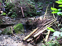
The bridge is broken!
The bridge after sigh no.21 is broken. Instead you can cross the stream while stepping on some stones. Be careful, it's easy to slip.
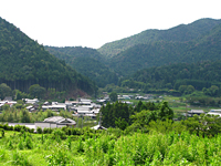
Arrive at Ohara
Can you see a fine view of the countryside? Good job! That's Ohara. You can drop into Sanzen-in Temple which is famous for its beautiful moss garden, Jakko-in and other nice temples. They are all quiet and peaceful, and you can feel the happiness after your effort. You can choose to get back downtown by bus or to stay in Ohara. (I camped along the river in Ohara, and continued to walk towards Kurama the next day!)

![]()
- No.1 ~ No.23